After going down the Carretera Austral in Chili you end up in Villa O’Higgins. If you want to continue to the south you have to cross the border, wich is only possible from November 1st till April the 30rd. From May till October the Chilean border is closed and you won’t be able to cross. This crossing involves boats, walking, buses and or hitchhiking and on clear days a great view on Monte Fitz Roy. If you don’t want this, you have to go up again to Chile Chico and continue south at the Argentinian site, which costs a lot of money and time. Here you´ll find information how to plan this nice crossing, because not every day there busses and boats.
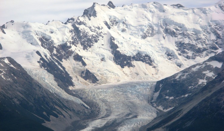
At the Argentinian site you find the Parque Nacional Los Glaciares with the famous Monte Fitz Roy and Cerro Torre and a lot of people. But on the Chilean site there is also a park, Parque Nacional Bernardo O’Higgins with beautiful trekking posibilities to a glacier and almost no people. When we were there we were the only people in the whole park.
Where to get your information
 A there are some interesting internetsites, on www.villaohiggins.com you can find dates when the boats are leaving, and a description about the bordercrossing Villa O’Higgings to El Chaltén, times, prices, where to get money (NO ATM in Villa O’Higgins or El Chalten!!!!!!) etc. If this is not available anymore, here is a word document containing this information.
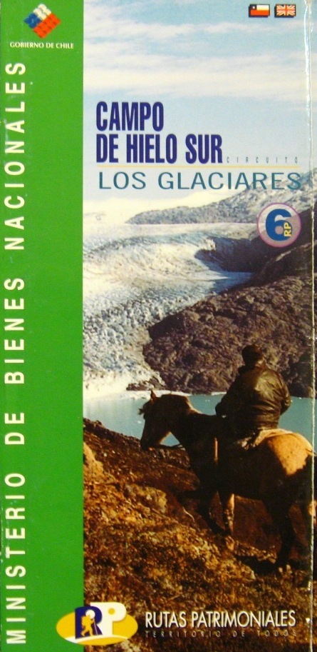
On the Minesterio De Bienes Nacionales website you should be able to find under Disfrutar de espacios públicos, Rutas Patrimoniales, XI Región, Campo De Hielo Sur Los Glaciares a description of the trekking in the Parque Nacional Bernardo O’Higgins. Right now it says still under construction so here the photo’s of the booklet we got on the ferry from Villa O’Higgins.
There is also a nice trekking map, Patagonian South Icefield Trekking Mountaineering 1:50 000, one side the Chilean nacional park and the other side the Argentinian nacional park with Fitz Roy and Cerro Torre. We saw it around El Chaltén for 25 pesos, 40 pesos in El Calafate and 50 pesos in Ushuaia. We were able to buy it from a German guy who went from El Chaltén to Villa O’Higgins.
The owner of Hostal El Mosco in Villa O’Higgins runs the bus service between Villa O’Higgins and the ferry. He can also give you information. Right now he started an bus service between Villa O’Higgins and Tortel (15.000 pesos per person), leaving Tortel on a Sunday.
 Trekkingtips in Parque Nacional Bernardo O’Higgins
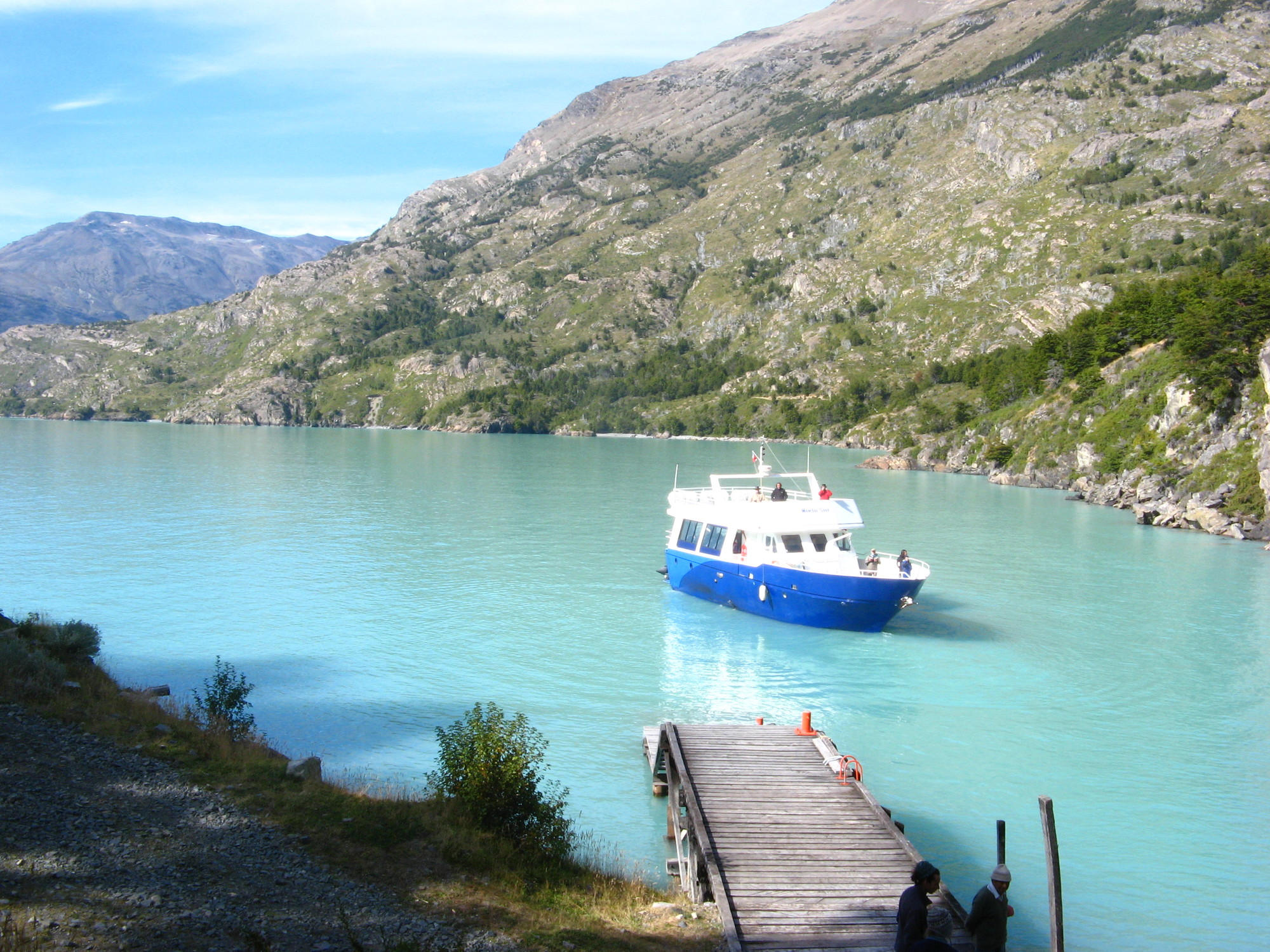
Our intention was to hike from Candelario Mancilla to Peninsula, cross the river and walk for a look on the O’Higgins glacier, walk back to the peninsula, take the route along Lago Chico to the mirador on Glaciar Chico and walk from this to the Argentinian borderpost. All the luggage we didn’t needed would be brought to the Argentinian borderpost by Ricardo by horse, so we could pick it up there. Nice roundtrip, without going back. As is written on the Patagonian South Icefield Trekking Mountaineering map, you have to ask permission of both border posts. But let’s put it this way, if you ask permission (like we did) on the Chilean site they will not allow you to cross here. Maybe it´s best to ask Ricardo for the last situation on this.
 You will arrive at Candelarion Mancilla around 11:00, before you have arranged that your stuff will be brought by horse to the Argentinian border and after lunch it will be 12:00 before you can start your trek. It took us around 8 hours to get to the peninsula, and you won’t find any official campsites. We just camped in the woods after crossing 3 little streams.
The path is easy to find, only at number 3 (see the photo’s of the booklet we got on the ferry from Villa O’Higgins)after crossing the river it’s tricky because there are many trails. Cross the river and go straight ahead. Look for a bridge in the mud. After this you will see a gully full of dead treetrunks. Go up here and after 100 meters you will find the correct trail.
Crossing the river at the peninsula is only possible early in the morning, 8:00 or late in the afternoon 17:00, because the farmer will work on the fields during the day.
 Description of the bordercrossing
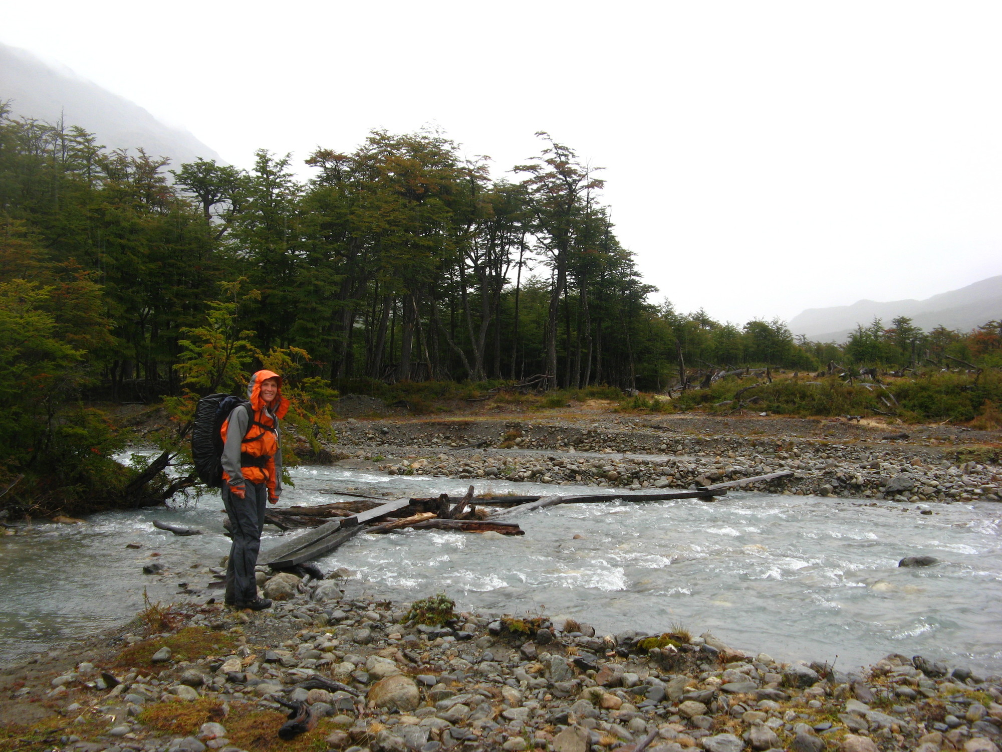
The 4×4 track from the chilean customs is clear. There are 3 bridges in the middle, the first bridge is a stable bridge, the second are some slippery planks and tree trunks, see the picture and the third one is another stable bridge. We also heard that there is a path straight on, so you won’t cross the river. If you see the first bridge, you will also see a path straight on.
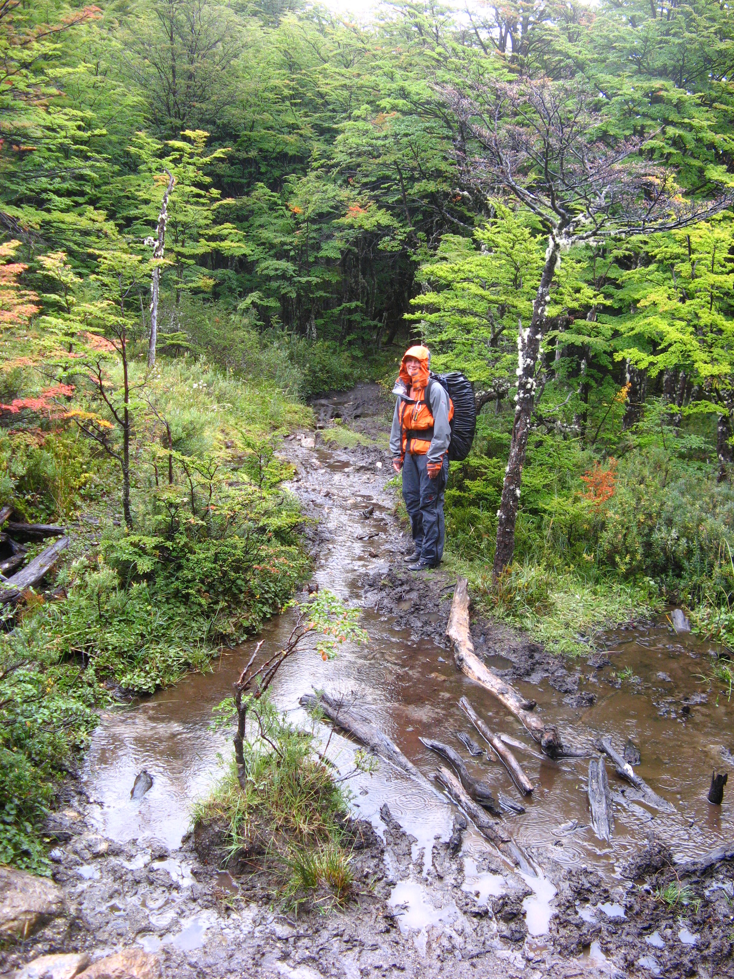
After the border the muddy path starts, crossing a lot of fallen trees, small brigdes and loads of mud.
If you have the boat of 17:00 there will not be any buses waiting for you, so you have to wait for the next bus at 10 in the morning. Maybe you’re lucky and will find a lift to El Chaltén.
Interested in more pictures, here is the album of Campo De Hielo Sur